


Tropical depression likely to form in Gulf, development odds climb to 80%
Sun, July 19, 2026 at 3:24 AM
UpdatedSun, July 19, 2026 at 8:57 AM
 3VIEW ALL PHOTOS
National Hurricane Center increases odds of tropical development for Gulf. (WPEC)
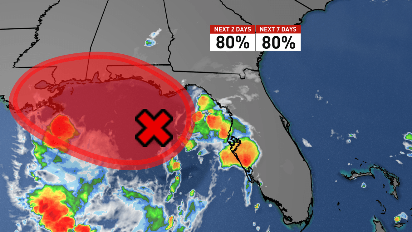
WEST PALM BEACH, Fla. (CBS12) —The National Hurricane Center says a disturbance in the northeastern Gulf of America is becoming better organized and is now likely to develop into a tropical depression later today or on Monday
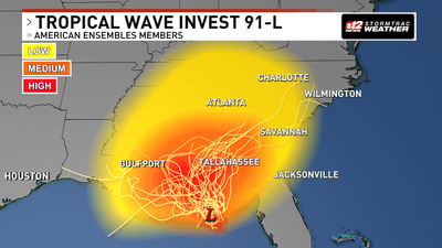
The system, designated Invest 91L (AL91), a label meteorologists use to identify a disturbance under investigation for tropical development, is producing increasing showers and thunderstorms as an area of low pressure, a region where atmospheric pressure is lower than its surroundings and where storms often form, continues to strengthen over the northeastern Gulf
Forecasters say both the low-pressure center and thunderstorm activity have become better organized since Sunday, increasing confidence that a tropical cyclone will soon form
Read more about South Florida’s dry week
Tropical storm watches could be issued today
The National Hurricane Center now gives the system an 80% chance of tropical development during both the next 48 hours and the next seven days
National Hurricane Center increases odds of tropical development for Gulf. (WPEC)
A tropical depression, the first stage of a tropical cyclone with a closed center of circulation and sustained winds of 38 mph or less, is expected to develop later today or Monday as the system drifts slowly northward or northwestward
If strengthening continues, tropical storm watches or warnings could be issued later today for portions of the northern Gulf Coast
A tropical storm watch means tropical storm conditions are possible within the watch area, while a tropical storm warning means those conditions are expected
To help determine whether the system has developed a closed circulation, an Air Force Reserve Hurricane Hunter aircraft is scheduled to investigate the disturbance later today
The specially equipped aircraft flies directly into developing tropical systems to collect wind, pressure and temperature data that satellites alone cannot measure
Interactive Radar: Track storms across your area
Heavy rain remains the greatest threat
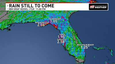
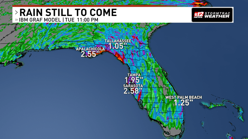
Whether the system becomes a tropical depression or eventually strengthens into a tropical storm, forecasters say flooding rainfall will likely be the most significant hazard
The disturbance is expected to bring multiple rounds of heavy rain to portions of Florida’s Gulf Coast, Alabama, Mississippi and Louisiana over the next several days
Repeated thunderstorms could lead to localized flash flooding, especially in low-lying areas and locations that receive several rounds of rain
Flash flooding occurs when heavy rainfall causes water levels to rise rapidly, creating dangerous travel conditions and inundating flood-prone neighborhoods
National Hurricane Center increases odds of tropical development for Gulf. (WPEC)
Gulf Coast residents urged to monitor forecasts
Although confidence is increasing that tropical development will occur, the exact track and intensity of the system remain uncertain
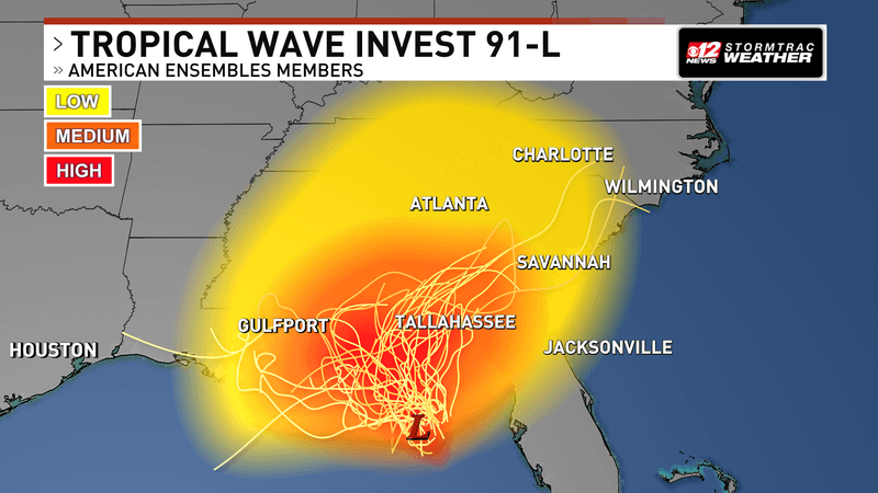
National Hurricane Center increases odds of tropical development for Gulf. (WPEC)
Even relatively small changes in the system’s path could shift where the heaviest rainfall, strongest winds and any coastal impacts occur
Residents from Florida’s Gulf Coast westward to Louisiana are encouraged to closely monitor forecasts from the National Hurricane Center and their local National Weather Service office, as watches or warnings could be issued later today
The National Hurricane Center will continue issuing regular updates as Hurricane Hunter aircraft collect new data and the system continues to organize
